I was a big fan of FATMAP.
As a trail runner (with a preference for a mountain train path…) I have relied for many years on my phone to be able to either:
a) work out exactly where I am on a hill, or
b) find somewhere really great to run or hike.
Well, for these, Google Maps isn’t going to cut it. Whilst I do often run in the streets of cities, I need something which can keep me ‘on-grid’ whist I am attempting to venture off it. FATMAP, back in the day, was great to satisfy these two points. Knowing the gradient of hills has always been important (to figure out where on earth you are and to what degree), as well as being great to know if the area you are interested in has some well known routes already marked or recommended (you can imagine that Chamonix looked a bit like an Etch-A-Sketch to this degree).
Long story short (I hear something involving Strava and a rather spooky ‘ghosting’ post take-over) FATMAP was to be no more.
Which left a void and I think in some ways, my running has been a lot less creative, since.
I am not going to try and explain all the ins and outs of why Outmap is, frankly, everything we have been missing (the website explains it far better than I do). Instead, I will paint a scenario:
Imagine you turn up in the Swiss Alps. For ease of reference, I will use Crans Montana in Valais.
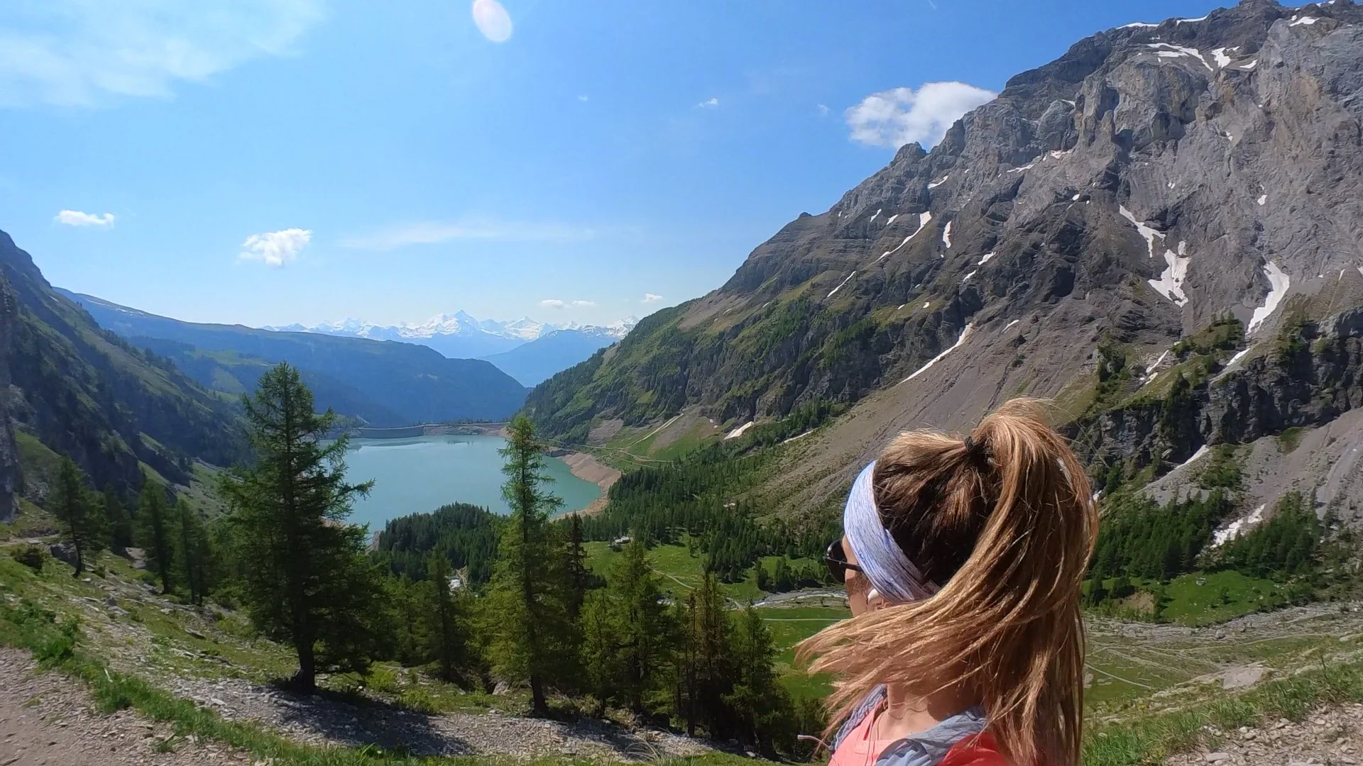
Barrage du Tseuzier, Crans Montana
You arrive for the weekend and want to immediately get on the trail. You do not know the area. You would like to get a descent amount of elevation whilst you are there. You would like to run (or hike) by crystal clear waters, perhaps near a waterfall, and if you are lucky, you would like to hit terrain where you might see a marmot (welcome to my world).
Open Outmap
Draw a route (this can be in straight lines, or literally “snap” to a path - my preference)
Name and Save. The distance and elevation is pre-calculated, so no guess work.
Export GPX to your sport watch
Get on the trail.
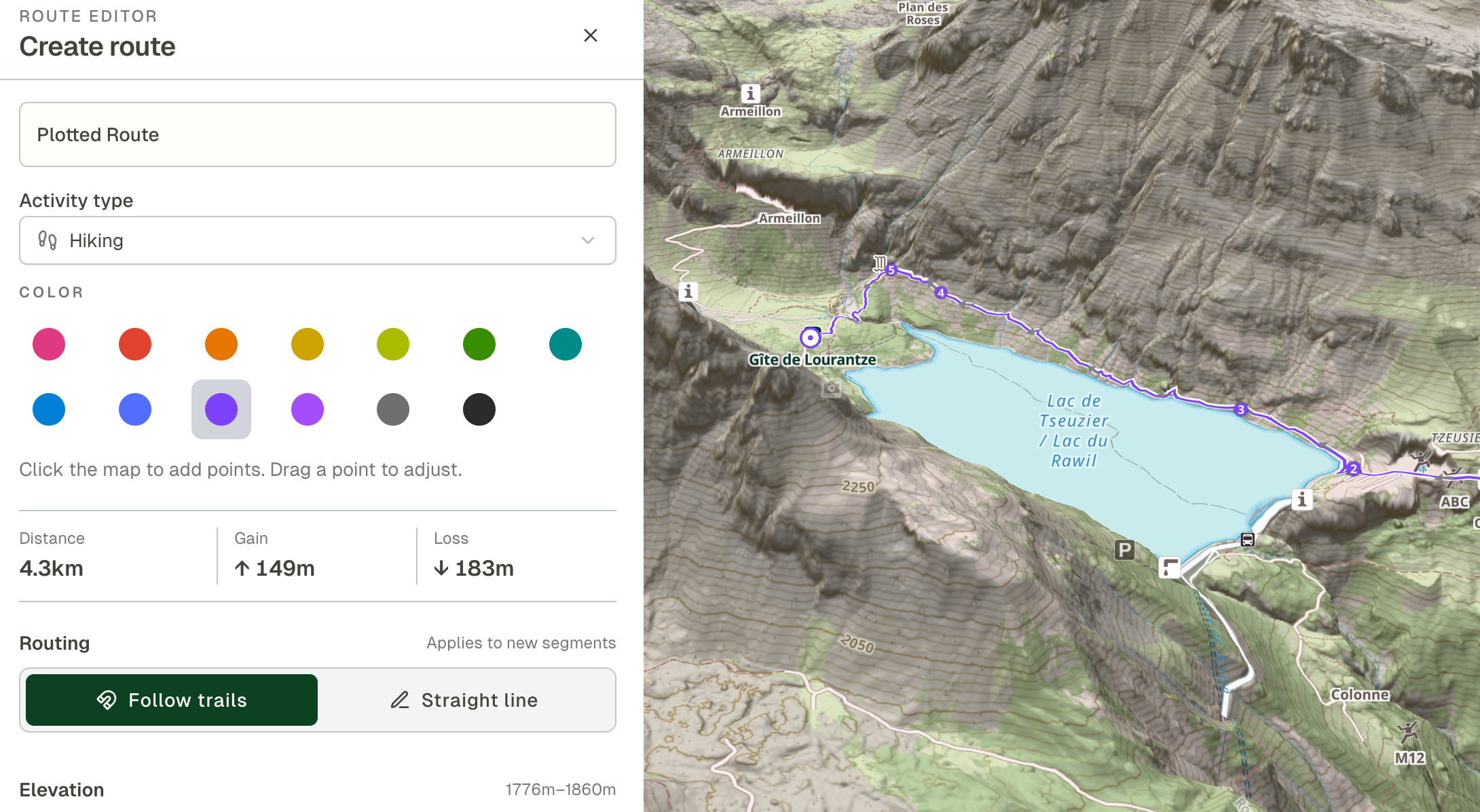
Example: as you plot, elevation and distance are calculated. It is also easy to actually draw the route - no going off on a tangent or failing to follow your cursor
Whether you are a new runner looking to access interesting trails on your holiday, a well versed hiker keen for some new ground or you are trying to upgrade your training plans ahead of your ultra- this is the start of a new era in route planning and trail maps. Thank goodness.
If you wish to give the app a try, I have 1 month free for you, plus 20% off subscription with this link. All that is left to do is start using it - let me know what you think!
Happy trail travels.